PITWEGIJIG’S Manidookaanaak
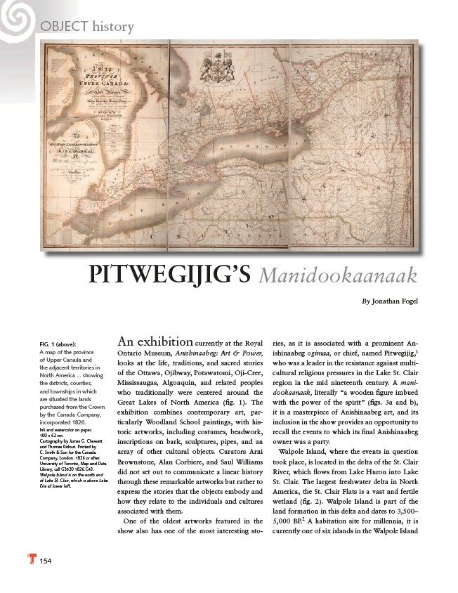
FIG. 1 (above):
A map of the province
of Upper Canada and
the adjacent territories in
North America ... showing
the districts, counties,
and townships in which
are situated the lands
purchased from the Crown
by the Canada Company,
incorporated 1826.
Ink and watercolor on paper.
100 x 62 cm.
Cartography by James G. Chewett
and Thomas Ridout. Printed by
C. Smith & Son for the Canada
Company, London. 1826 or after.
University of Toronto, Map and Data
Library, call G3520 1826.C43.
Walpole Island is on the north end
of Lake St. Clair, which is above Lake
Erie at lower left.
154
An exhibition currently at the Royal
Ontario Museum, Anishinaabeg: Art & Power,
looks at the life, traditions, and sacred stories
of the Ottawa, Ojibway, Potawatomi, Oji-Cree,
Mississaugas, Algonquin, and related peoples
who traditionally were centered around the
Great Lakes of North America (fi g. 1). The
exhibition combines contemporary art, particularly
Woodland School paintings, with historic
artworks, including costumes, beadwork,
inscriptions on bark, sculptures, pipes, and an
array of other cultural objects. Curators Arni
Brownstone, Alan Corbiere, and Saul Williams
did not set out to communicate a linear history
through these remarkable artworks but rather to
express the stories that the objects embody and
how they relate to the individuals and cultures
associated with them.
One of the oldest artworks featured in the
show also has one of the most interesting sto-
By Jonathan Fogel
ries, as it is associated with a prominent Anishinaabeg
ogimaa, or chief, named Pitwegijig,1
who was a leader in the resistance against multicultural
religious pressures in the Lake St. Clair
region in the mid nineteenth century. A manidookaanaak,
literally “a wooden fi gure imbued
with the power of the spirit” (fi gs. 3a and b),
it is a masterpiece of Anishinaabeg art, and its
inclusion in the show provides an opportunity to
recall the events to which its fi nal Anishinaabeg
owner was a party.
Walpole Island, where the events in question
took place, is located in the delta of the St. Clair
River, which fl ows from Lake Huron into Lake
St. Clair. The largest freshwater delta in North
America, the St. Clair Flats is a vast and fertile
wetland (fi g. 2). Walpole Island is part of the
land formation in this delta and dates to 3,500–
5,000 BP.2 A habitation site for millennia, it is
currently one of six islands in the Walpole Island
OBJECT history